Community Corner
Rain to Give Way to Gusty Winds
Winds will increase through the day Tuesday, peaking in strength in the evening and diminishing overnight.
High winds generated by a cold front out of the Gulf of Alaska will buffet the Southland on Tuesday, mixing with snow and ice to make mountain driving "especially hazardous," while high surf pounds the coast, creating potentially deadly rip currents, forecasters said.
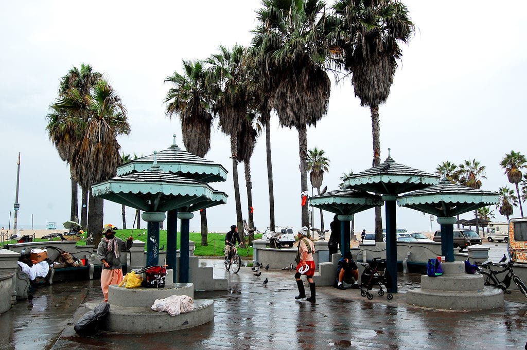
Light rain fell Tuesday morning, making roadways dangerously slippery, before the storm began drifting out of the region.
Between 5 a.m. and 8 a.m., about 105 accidents were reported on Los Angeles County roadways patrolled by the California Highway Patrol, compared with about 31 accidents in the same areas a week ago, when it did not rain, the CHP reported.
Find out what's happening in Westwood-Century Citywith free, real-time updates from Patch.
National Weather Service meteorologists forecast gusts of 65 mph across the Interstate 5 corridor, up to 50 mph in the Antelope Valley and the Santa Monica Mountains Recreational Area, and 45 mph in the San Fernando and Santa Clarita valleys. The most powerful gusts will occur Tuesday afternoon and Tuesday night, according to NWS forecasters.
The snow level will drop to around 3,000 feet Tuesday night, and snow showers are possible over The Grapevine.
Find out what's happening in Westwood-Century Citywith free, real-time updates from Patch.
"Snow, ice and gusty winds will make traveling through that area especially hazardous," according to an NWS advisory. "Winds are expected to peak Tuesday night before weakening on Wednesday."
Along with 65-mph gusts, sustained northwest winds of between 25 and 40 mph will sweep through the San Gabriels until early Wednesday, according to NWS forecasters.
A high wind warning denoting winds of at least 40 mph or gusting to 58 mph will be in effect from 4 p.m. Tuesday until 7 a.m. Wednesday in the San Gabriel Mountains in Los Angeles and Ventura counties.
A less serious wind advisory, indicating that 35 mph or greater are expected, will be in force from noon Tuesday until midnight in the Antelope Valley, from 4 p.m. Tuesday until 7 a.m. Wednesday in the Santa Mountains Recreational Area and the Santa Clarita Valley, and from 6 Tuesday until 7 a.m. Wednesday in the San Fernando Valley.
Along the coast, a high surf advisory will be in effect until 4 a.m. Wednesday. The NWS forecast breakers of between 10 and 14 feet, along with "very strong rip currents" and "some beach erosion."
High tide is expected around four feet Tuesday afternoon and near five feet Wednesday morning, according to the NWS.
The NWS forecast highs Tuesday of 40 on Mount Wilson; 49 in Palmdale; 50 in Lancaster; 53 in Avalon and Saugus; 57 in Burbank; 58 in Pasadena and San Gabriel; 59 in Woodland Hills; 60 in Long Beach and at LAX; 61 in downtown L.A.; and 63 in Anaheim and Newport Beach. Wednesday's highs will be nearly identical, though under sunny skies.
Clear weather is expected Wednesday through late Friday, when another relatively weak weather system will approach the region, according to the NWS. But as of Tuesday, no rain is in the forecast until Sunday.